Project Paves the Way for Forecasting COVID-19 Infection Transmission

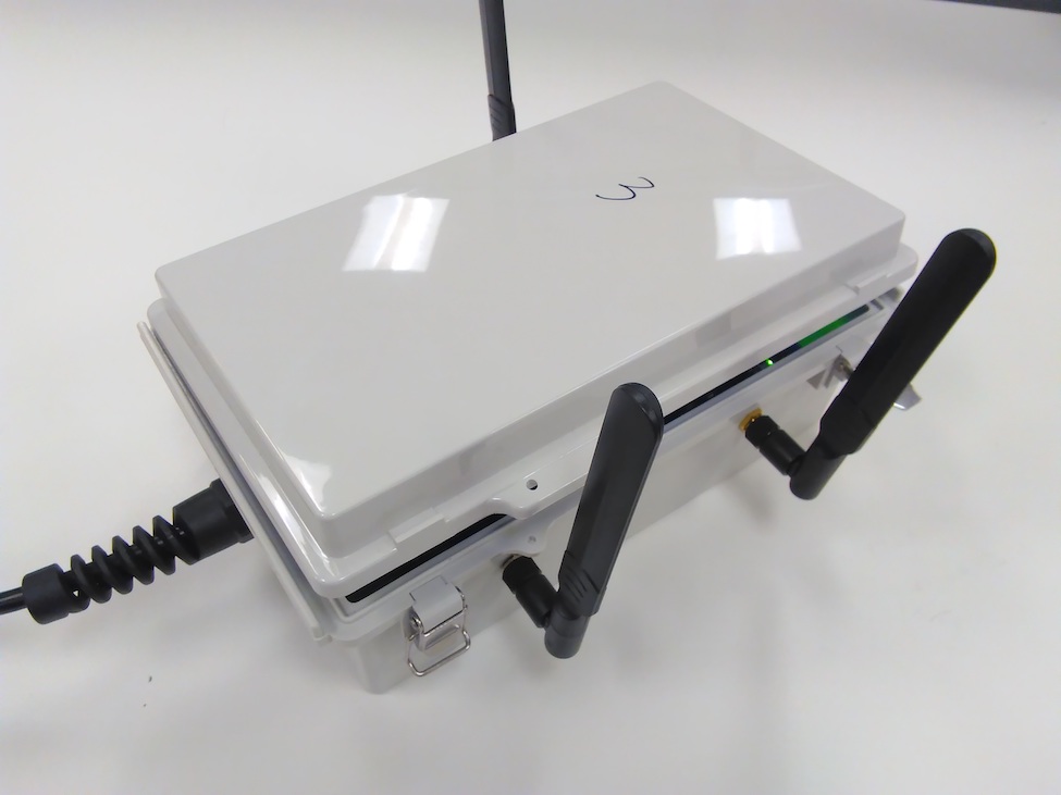
Close-up of the interior of one of the sensors ČČM┼«Ų═ deployed as part of the Mobility Intelligence Project (MIP).Close-up of the interior of one of the sensors ČČM┼«Ų═ deployed as part of the Mobility Intelligence Project (MIP).
Studying the way people move and interact can play an important role in understanding how an infection might spread during a pandemic and the types of practices, such as social distancing, that could help. A unique project developed by researchers at ČČM┼«Ų═ in collaboration with the will create new opportunities to tackle the coronavirus disease (COVID-19) by enabling cutting-edge computational epidemiology.
The work builds on the ŌĆ£Mobility Intelligence ProjectŌĆØ (MIP), an existing collaboration between the two partners. MIP is a first-of-its-kind mobility sensing, analytics, and recommendation system developed by ČČM┼«Ų═ŌĆÖs Institute for Sensing and Embedded Network Systems Engineering (I-SENSE) and the . Originally designed to improve the quality of life for people who live, work and play in downtown West Palm Beach, MIP is being retooled to enable the simulation of virus transmission based on realistic, contextualized models ŌĆō models that rely on how people actually move and interact within the city.
ŌĆ£There is significant untapped potential in our emerging smart cities to enable hyper-contextualized computational epidemiology,ŌĆØ said , Ph.D., director of I-SENSE and a professor in the at ČČM┼«Ų═. ŌĆ£Fine-scale mobility datasets are especially powerful. In the case of our Mobility Intelligence Project, those datasets are being collected in real-time, opening new doors for instantaneous modeling and projection of disease spread based on evolving mobility patterns, such as those resulting from urban planning initiatives and social distancing guidelines. It is a new smart cities use case that we hope epidemiologists will leverage.ŌĆØ
For demonstration purposes, HallstromŌĆÖs team has developed a proof-of-concept simulation using simplified virus transmission models for medium-density and high-density populations centers. The simulations illustrate viral spread and progression from healthy individuals to active infection to recovery, and in some cases, mortality from the disease. People in the contextualized simulations are represented by tiny moving dots. When the MIP platform is complete, these dots will represent real mobility patterns recorded through the platform. The proof-of-concept relies on simulated motion, similar to ŌĆ£Brownian motion,ŌĆØ the random battering of small particles by atoms and molecules that are constantly moving.
ŌĆ£The Mobility Intelligence Project will provide a real-time map of where people are and how they are interacting with one another,ŌĆØ said Hallstrom. ŌĆ£The concept is to partner with the computational epidemiology community to integrate evidence-based models of COVID-19 transmission with hyper-local mobility data to provide place-specific forecasts of disease transmission. When these tools are integrated into city planning efforts, they will provide real-time insights into how mobility changes within the city affect the local populationŌĆÖs susceptibility to future outbreaks.ŌĆØ
Last fall, HallstromŌĆÖs Ph.D. candidates, Fanchen Bao and Stepan Mazokha, installed sensors along the iconic Clematis Street, the hub of West Palm BeachŌĆÖs business district. As the installation grows, the MIP sensors will be able to differentiate between pedestrian and vehicular traffic. Patterns are captured at the scale of individual vehicles and pedestrians, with the capacity to establish population-wide patterns, and to monitor changes in those patterns over time.
The technology was designed to protect personal privacy and relies on passive, anonymous monitoring of the unique WiFi and Bluetooth addresses beaconed from popular cell phones and other smart devices. MIP scrambles information received from peopleŌĆÖs mobile devices so that it cannot be traced back to its original source.
Using MIP, the city will be able to understand the movement of people in Downtown West Palm Beach. Are they practicing social distancing? Are there infrastructure improvements that could help? Following stay at home and social distancing guidelines for COVID-19, the ČČM┼«Ų═ research team has noticed an 80 to 90 percent decline in people congregating and moving around the city. They are continuing to monitor this trend.╠² ╠²
ŌĆ£The ability to provide real data on mobility patterns, and to use this data to forecast disease spread is not only a vital tool for epidemiologists studying COVID-19, it also has critical implications for the future,ŌĆØ said , Ph.D., dean of the College of Engineering and Computer Science at ČČM┼«Ų═. ŌĆ£Our Mobility Intelligence Project also will assist urban planners and architects to design and build thoughtful neighborhoods and cities that will prevent or mitigate the spread of disease.ŌĆØ
The objective of the three-year MIP, funded by the City of West Palm Beach, the , and the , is to provide the groundwork for understanding mobility patterns, at population scales, with the capacity to disaggregate by group. Mobility data will be fused with GIS content to annotate mobility origins, destinations, and routes (e.g., origin neighborhood, business type, degree of canopy cover). The concept is to learn the connections between people and place in the areas they most often frequent for their meals, entertainment and essential services, and to use that knowledge to draw people to new places, and to establish new connections.
ŌĆ£ČČM┼«Ų═, the City of West Palm Beach, the Knight Foundation and the Community Foundation for Palm Beach and Martin Counties are working closely to combat this current public health crisis and to help ensure the safety of our citizens,ŌĆØ said Hallstrom. ŌĆ£We are extremely grateful for their continued support and for the impact that our joint efforts will have on the health and well-being of our community.ŌĆØ
╠²
-ČČM┼«Ų═-
Tags: technology | engineering | students | science | faculty and staff | research | community | coronavirus